Why Is Cape Town Having Such a Dry Winter?
Cape Town is supposed to be wet, cold and miserable in winter. So why has this winter felt so dry? We look at what's happening with the weather patterns and where the hell all the rain has gone.
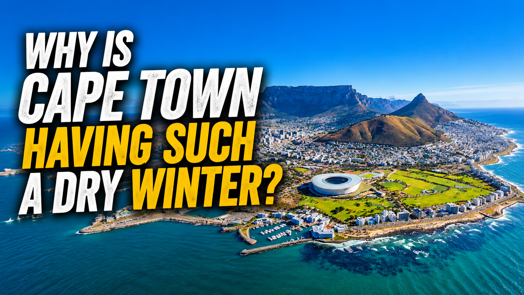
If you live in Cape Town, you probably have a pretty good idea of what winter is supposed to look like.
The sky turns grey. The wind starts howling. The rain arrives sideways. Your washing refuses to dry for three consecutive days, and suddenly you're questioning every life decision that led you to leave the house without a jacket.
But this winter? It's been a little different.
There have certainly been some rainy days, and parts of the Western Cape have actually had some seriously impressive rainfall. But for many people in and around Cape Town, winter has felt surprisingly dry.
And that has left a lot of people asking the same question:
Where the hell is all the rain?
The answer is a little more complicated than simply saying that the rain has disappeared. The reality is that the weather patterns have been favouring a drier winter for the south-western parts of South Africa, while some other areas have been getting far more of the wet stuff.
So let's take a look at what's actually going on.
Cape Town Was Already Expected To Have A Drier Winter
The first thing to know is that this dry spell hasn't come completely out of nowhere.
The South African Weather Service's seasonal outlook for the winter period suggested that the south-western and southern coastal parts of South Africa were more likely to experience below-normal rainfall, while areas further east had a better chance of seeing wetter conditions.
In other words, the seasonal forecast was already pointing towards a winter where Cape Town and the south-western Cape might not get quite as much rain as usual.
Of course, that doesn't mean meteorologists looked at the forecast in May and said, "Right, Cape Town isn't getting any rain until further notice." Seasonal forecasts don't work like that.
They look at the bigger picture and tell us whether the odds are leaning towards wetter or drier conditions over a longer period. You can still have a massive storm in a season that's expected to be dry, just as you can have a completely rain-free week during a season that's expected to be very wet. And Cape Town's weather has certainly been keeping things interesting.
The Rain Hasn't Disappeared. It's Just Been Very Uneven.
Here's where things get a little confusing.
If you looked at the wider Western Cape and said, "This place hasn't had any rain," you'd be very wrong. Some parts of the province have had a lot of rain.
In May, Ceres recorded an extraordinary 507 mm of rainfall during the month, compared with a long-term May average of around 80 mm. More than 333 mm of that rainfall fell during an intense weather event over just a few days. That's an absolutely ridiculous amount of rain.
So how can Cape Town be having a dry winter while parts of the Western Cape are dealing with flooding? Welcome to the wonderful world of weather.
Rainfall doesn't spread itself evenly across a province. One weather system can dump enormous amounts of water over one area while another location just a few kilometres away gets very little. The same thing happens with cold fronts.
A front can sweep across the Western Cape and bring heavy rain to one area, while another part of the province gets a few drops and a lot of wind.
So when we talk about Cape Town having a dry winter, we're really talking about the amount, timing and distribution of the rainfall. The rain is still around. It's just being annoyingly selective about where it wants to fall.
So, Where Are All The Cold Fronts?
For Cape Town, winter rain is largely delivered by cold fronts moving in from the South Atlantic.
These weather systems travel from west to east and can bring the classic Cape Town winter combination: rain, strong winds, cold temperatures and the occasional feeling that you should probably just stay in bed. But not every cold front is created equal. Some are strong and move directly across the Cape, bringing widespread rain. Others weaken before they arrive. Some track further south and take the heaviest rain with them.
Others might bring plenty of wind but surprisingly little rainfall.
And sometimes, the weather system that looked promising on the forecast map simply doesn't deliver as much rain as expected.
It's one of the reasons Cape Town can spend days watching a cold front approach on the weather maps, only for the city to end up with a few millimetres of rain and a very strong opinion about the wind.
High Pressure Might Be Getting In The Way
One of the big players in Cape Town's winter weather is the South Atlantic High.
This is a large area of high atmospheric pressure that sits over the ocean and plays an important role in influencing the movement of weather systems.
When high-pressure systems are positioned in an unfavourable way, they can affect the path and strength of approaching cold fronts. Instead of allowing a strong weather system to move directly over Cape Town, the setup can help push it further south, weaken it, or change the way it interacts with the region.
The result? You might see an impressive storm system sitting just offshore, but Cape Town doesn't get the soaking it was hoping for. It's basically the meteorological equivalent of watching someone walk past your house with a pizza and then discovering they were never planning to share it.
What About El Niño?
At the beginning of the 2026 winter season, the El Niño-Southern Oscillation, or ENSO, was in a neutral phase but showing signs of potentially shifting towards El Niño later in the year.
El Niño is often associated with hotter and drier conditions across parts of southern Africa, but there's an important catch.
Its influence is much stronger and more predictable during the summer rainfall season than it is during Cape Town's winter rainfall season. So it would be a bit too simplistic to point at El Niño and say, "That's it. Mystery solved."
Weather doesn't really work that neatly.
There are a whole bunch of different atmospheric patterns interacting with each other at the same time. The position of high-pressure systems, the behaviour of cold fronts, the jet stream and the development of low-pressure systems can all influence how much rain eventually reaches Cape Town.
El Niño is one piece of the puzzle. It isn't the whole puzzle.
Is Cape Town's Winter Rain Disappearing?
This is probably the question that makes people a little nervous.
If you're having a dry winter now, does that mean Cape Town is heading towards a future where winter rain becomes less reliable? The honest answer is that one dry winter can't tell us that.
Cape Town's rainfall has always been highly variable. We've had extremely wet winters, incredibly dry winters and everything in between. Sometimes a season can look disappointing for weeks before a couple of major weather systems arrive and completely change the rainfall totals.
That's also why it's important not to look at one month or even one season in isolation.
Climate change does add another layer to the conversation, though.
Temperatures are rising, and changes in the climate can affect rainfall patterns, evaporation and water demand. Scientists are still working to understand exactly how these changes will play out across different regions.
For Cape Town, the biggest concern isn't necessarily that the rain will suddenly disappear forever. It's that rainfall patterns could become less predictable. You might have long dry periods interrupted by very intense rainfall events. You might get plenty of rain in a short period but not enough consistently throughout the season. And when it comes to filling dams and managing water supplies, that difference matters.
A year's rainfall isn't just about how much rain falls. It's also about when it falls and where it falls.
So, Is The Rain Coming?
The good news is that winter isn't over yet.
Cape Town can still get significant rainfall from a single strong cold front or cut-off low, and the fact that the season has been dry so far doesn't mean the next few weeks can't change the picture.
At the same time, the broader seasonal outlook has suggested that the south-western parts of the country could remain on the drier side overall.
So, if you're sitting in Cape Town wondering why winter feels more like an extended autumn with occasional wind attacks, you're not imagining it.
The weather pattern has genuinely been leaning drier than normal.
But that doesn't mean the rain has forgotten where Cape Town is.
The cold fronts are still out there. The Atlantic is still producing weather systems. And all it takes is a few well-placed storms to make a noticeable difference to the season.
The problem is that Cape Town doesn't just need any rain.It ne eds the right rain, in the right places, at the right time.
A massive downpour in one part of the province might cause flooding without doing much to improve water supplies elsewhere. A storm that dumps 100 mm in a few hours might look impressive, but steady rainfall spread across the catchment areas can sometimes be far more useful.
That's the frustrating thing about weather. You can have too much rain and not enough rain at exactly the same time.
So, why is Cape Town having such a dry winter?
There isn't one single answer.
The broader weather pattern has favoured below-normal rainfall in the south-western part of South Africa. The positioning of high-pressure systems can influence the path of cold fronts, while individual weather systems can weaken, shift or simply miss the city. El Niño may also become a factor later in the year, although it isn't the main explanation for everything happening this winter.
The rain hasn't disappeared. It's just not arriving as consistently or as evenly as we'd normally like.