Three Hurricanes vs Zero: Why the Pacific Is Going Wild While the Atlantic Stays Quiet
Three hurricanes recently spun across the Pacific at the same time, while the Atlantic is still waiting for its first hurricane of the season. So why are two oceans having such different hurricane seasons?
The Pacific and Atlantic are having very different hurricane seasons
If you looked at satellite images of the Pacific and Atlantic this week, you could be forgiven for thinking they were in completely different seasons.
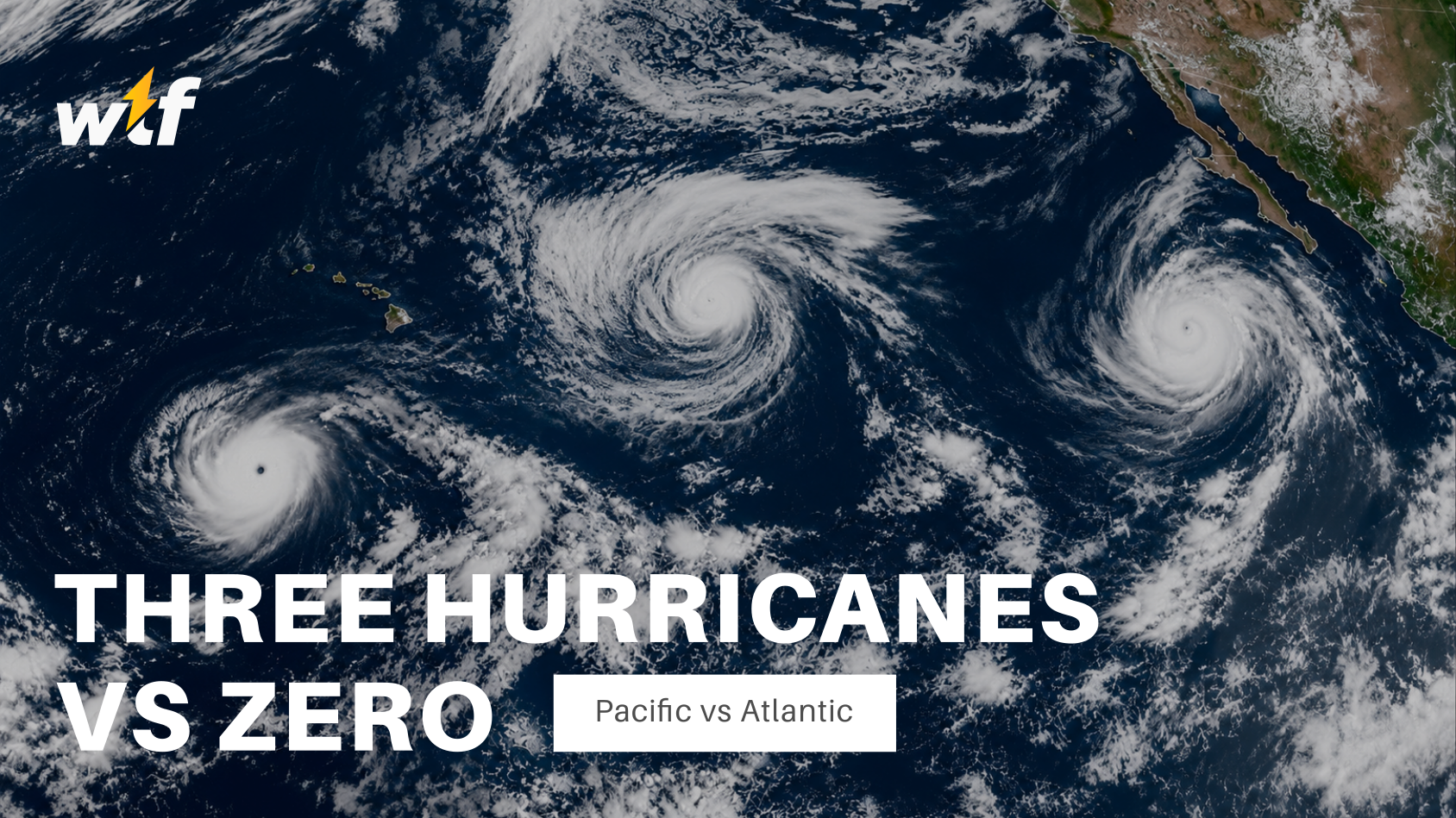
Earlier this month, three hurricanes ( Lowell, Karina and Marie ) were spinning across the Pacific at the same time. NASA captured the unusual trio from space, showing just how active the basin had become.
Meanwhile, the Atlantic has been remarkably quiet.
As of 8 September, the Atlantic has still not produced a single hurricane this season. That's particularly unusual because September is normally the busiest part of the Atlantic hurricane season. The basin is now getting close to the record for the latest first hurricane since the satellite era began.
So what's going on? It isn't simply that the Pacific has warmer water.
Hurricanes need more than warm water
Warm ocean water is the fuel that powers tropical cyclones, but it's only one part of the recipe. A developing hurricane also needs plenty of moisture, rising air and, importantly, relatively weak winds higher up in the atmosphere.
Those upper-level winds are known as vertical wind shear. Think of a hurricane as a giant tower of thunderstorms. For that tower to become a powerful, organized storm, it needs to stay upright. If winds near the surface are blowing one way while winds several kilometers above are blowing strongly in another direction, the storm can get tilted and shredded apart before it has a chance to properly organize. And right now, that's a big part of the story separating the Pacific from the Atlantic.
The Pacific has the better setup
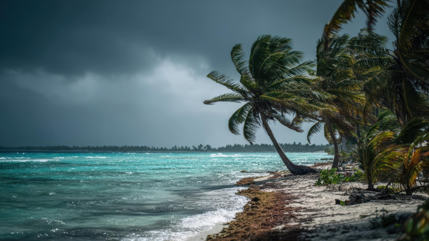
The eastern and central Pacific are currently benefiting from atmospheric conditions that are more supportive of hurricane development. The developing El Niño has altered the circulation of the atmosphere, helping reduce vertical wind shear over parts of the Pacific.
That gives tropical systems a better chance of staying organised and strengthening.
The result?
A remarkable burst of activity, including the recent trio of Lowell, Karina and Marie.
Hurricane Lowell became particularly powerful, reaching major hurricane strength before moving towards Hawaii. The storm brought significant rainfall and flooding concerns to parts of the islands.
The same large-scale atmospheric pattern associated with the strong El Niño can have almost the opposite effect over the Atlantic.Instead of creating a calm environment for storms to build, it increases wind shear across much of the tropical Atlantic.So while the Atlantic Ocean itself can still be warm enough to provide plenty of energy, the atmosphere above it isn't necessarily cooperating.
It's a bit like trying to build a tower of cards while someone is blowing a fan across the table.
The ingredients are there.
The wind just keeps ruining the construction. NOAA has maintained its forecast for a below-normal Atlantic hurricane season, with the strengthening El Niño one of the major factors expected to suppress activity. However, a quiet hurricane season doesn't mean a storm can't suddenly appear.
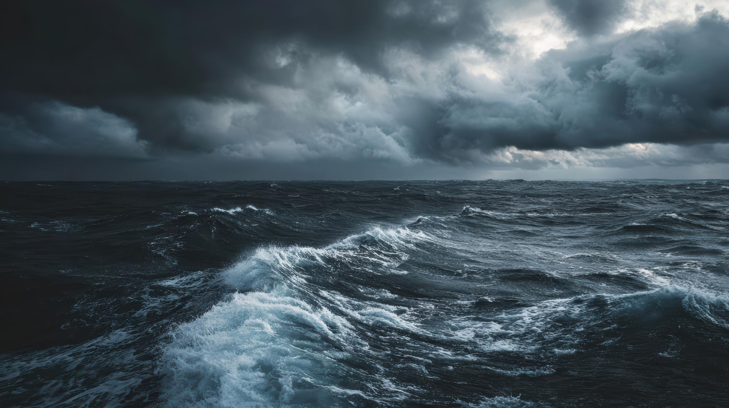
In fact, the Atlantic has already produced several named storms this year. Tropical Storm Edouard, for example, made landfall along the US Gulf Coast earlier this month, bringing heavy rain and flooding. It simply hasn't managed to produce a hurricane yet.
And that's an important distinction.A hurricane season can be below average overall while still producing a storm capable of causing serious damage.
The Atlantic season officially runs until the end of November, and September is normally its peak. So there's still plenty of time for the basin to wake up.
What's happening right now is a fascinating example of how complicated Earth's atmosphere can be.The Pacific isn't producing hurricanes simply because its water is warm, and the Atlantic isn't quiet simply because its water is cool. Instead, the oceans and atmosphere are constantly interacting. Temperature, moisture, pressure, winds and large-scale climate patterns all work together to determine whether a tropical disturbance becomes a harmless cluster of thunderstorms or something capable of becoming a major hurricane.
And right now, those ingredients are lining up very differently on either side of Central America. The Pacific has been throwing hurricanes at the sky, while the Atlantic is still waiting for its first one. And ironically, the same giant climate pattern we've been watching in the Pacific, El Niño, is one of the reasons the two basins can look so dramatically different.
So while the Pacific is currently saying “hurricane season, let's go,” the Atlantic is basically sitting in the corner waiting for the atmosphere to stop blowing its cards over.